


DIGIPIN Reverse API
Decode a DIGIPIN back to the latitude and longitude at the centre of its grid cell, accurate to about 3.8 metres, in hyphenated or continuous form.
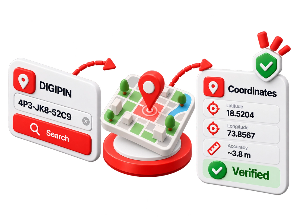
What the DIGIPIN Reverse API does
DIGIPIN Reverse decodes a Digital Postal Index Number back to the latitude and longitude at the centre of its grid cell. It accepts the DIGIPIN in hyphenated or continuous form and returns coordinates accurate to approximately 3.8 metres.
Use it to turn a DIGIPIN a customer gives you into a point you can map, route to or compare against other location data.
Where teams use the DIGIPIN Reverse API
Mapping a DIGIPIN a customer provides
Routing deliveries and field agents to a DIGIPIN
Comparing a DIGIPIN with GPS or address coordinates
Frequently Asked Questions (FAQs)
Which formats does it accept?
The DIGIPIN in hyphenated or continuous form.
How precise are the coordinates?
They are the centre of the DIGIPIN's grid cell, accurate to approximately 3.8 metres.
Start verifying with the DIGIPIN Reverse API
Book a walkthrough and we will show the call, the response and how it fits your onboarding flow.
- One API key for every check
- Verified against official Indian records
- Built for onboarding at scale